Tutor(s)
Greg Samways: Director, Geolumina.
Overview
This course will focus on a simple petrophysical workflow entailing the determination of rock properties from conventional logs and core analysis data. Lithology, porosity, permeability and saturations will be determined using a variety of different analytical and simple modelling methods. Emphasis will be placed on understanding the importance of calibration, integration, and validation of the results of each method, based on a fundamental understanding of the geological controls on petrophysical properties.
Duration and Logistics
Classroom version: 3-days with a mix of lectures and exercises. The manual will be provided in digital format and participants will be required to bring a laptop or tablet computer to follow the lectures and exercises.
Virtual version: Five, 3.5-hour interactive online sessions presented over 5 days. The course will focus on problem-solving using real-world data and use a series of Excel workbooks. A digital manual and exercise materials will be distributed to participants before the course.
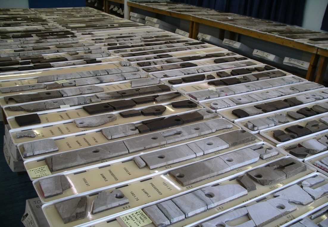
Level and Audience
Fundamental. This course is intended for non-petrophysicists who require a grounding in the petrophysical determination of lithology, porosity and saturation from conventional and special core analysis, and conventional open-hole logs.
Objectives
You will learn to:
- Understand the fundamental geological controls on reservoir properties.
- Describe how these properties are measured in the laboratory using conventional and special core analysis methods.
- Characterize the ways in which lithology and porosity are determined from well logs and calibrated with core analysis, and how permeability may be estimated in the subsurface away from core control.
- Evaluate how the Archie equation is used to determine saturation in cores and from well logs, and the uncertainties and limitations with this method
- Investigate how saturation-height models can be created from special core analysis data, thereby avoiding some of the limitations of the Archie method.
- Interpret typical conventional log and core analysis data using Excel spreadsheets.
- Experiment with the sensitivities of input parameters for various determinations, such as V-Shale, porosity and saturation.