World-class training for the modern energy industry

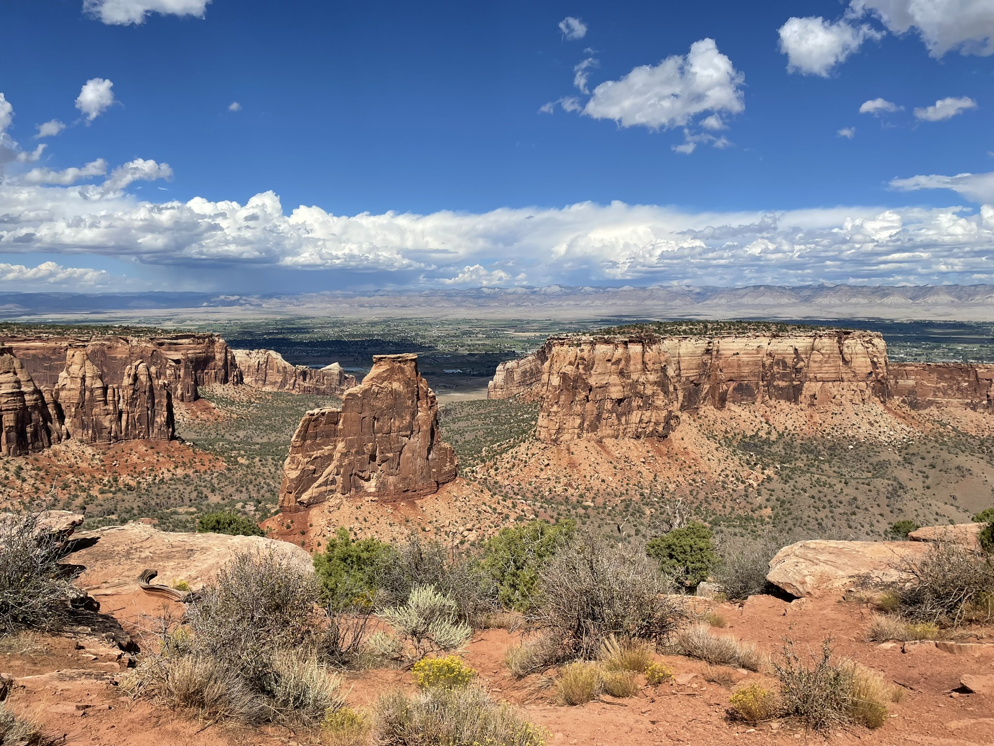
Geologic Carbon Storage at Outcrop: Lessons for Subsurface Characterization, Modeling, Risk and Monitoring, Utah (G579)

Tutor(s)

Alex Bump: Research Science Associate, University of Texas at Austin.

Michael Sweet: Co-Director and Research Scientist, University of Texas at Austin.

Overview

Using outcrops from the Cretaceous and Jurassic of Utah, this course will analyze some of the major subsurface challenges facing the storage of CO2 in subsurface formations, with particular reference to the planned Oligo-Miocene carbon stores on the Gulf Coast. It is intended to give participants the opportunity to consider the key factors of injectivity, capacity and confinement, and the range of storage play concepts available to match project needs with practically accessible storage sites. The course will explore the impact of multi-scale reservoir heterogeneity on migration and trapping of CO2, the propagation and dissipation of pressure, and the risks of unintended lateral or vertical migration of CO2 and/or displaced brine. We will also look specifically at boundary conditions and potential leakage paths, including faults and wells, using a variety of outcrops as a natural laboratory to facilitate the learning points.

Duration and Logistics

A 6-day field course comprising a mix of field activities with classroom lecture sessions and discussions. Transport will be by minivan or bus.

Level and Audience

Intermediate. This course is intended for geoscience and engineering professionals working in, or soon to transfer to, CCS projects.

Exertion Level

This class requires a MODERATE exertion level. There will be some short hikes to outcrops with some of these over uneven and rocky ground. The climate in southern Utah during the spring and fall is variable, with temperatures from 50°F (10°C) to 100°F (38°C). The elevation is between 4,000 and 5,000 feet (1200 and 1500 meters).

Objectives

You will learn to:

  1. Describe the subsurface requirements for a successful storage project, including similarities and differences with oil and gas exploration.
  2. Illustrate the CCS reservoir details of proposed Gulf Coast carbon stores and the state-of-play of these projects.
  3. Characterize the main depositional features that influence reservoir properties and CCS reservoir development, as well as likely performance, with special reference to clastic coastal/shallow marine depositional systems.
  4. Gauge fluid transport parameters, including the impact of geological heterogeneity and permeability on CO2 injection and plume migration.
  5. Evaluate sustainable injection rates for different carbon stores, including pressure propagation and interference, and factors such as loss of injectivity and pressure build-up.
  6. Manage containment risks with respect to both structural and depositional heterogeneities.
  7. Validate models for plume migration and integrate the key uncertainties.
Carbonate Depositional Systems: Reservoir Sedimentology and Diagenesis (G105)

Tutor(s)

Paul Wright: Independent Consultant.

Overview

This course is aimed at those with little or no previous experience with carbonate rocks as reservoirs or aquifers. A broad introduction to carbonate systems is presented, with multiple case examples interspersed throughout the course, in order to illustrate the different types of carbonate deposition, stratigraphy and diagenesis. Besides reviewing the essential components and origins of such rocks, it also illustrates how key characteristics are identified from seismic data and the issues relating to flow behaviour. Participants will attain a broad understanding of carbonate rocks – their components, depositional models and diagenetic variation – to better assist in the prediction of carbonate reservoirs from seismic to pore scale.

Duration and Logistics

Classroom: A 4.5-day in-person classroom course. Digital course notes and exercise materials will be distributed to participants before the course.

Virtual version: Nine 3.5-hour interactive online sessions. Digital course notes and exercise materials will be distributed to participants before the course.

Level and Audience

Fundamental. The course is intended for geoscientists (geologists and geophysicists) and petroleum engineers with little or no experience of carbonate reservoirs.

Objectives

You will learn to:

  1. Understand and describe the principal carbonate sediment components and systems of carbonate classification.
  2. Describe the primary controls on carbonate deposition temporally and spatially, and discuss the contrasts between the controls on siliciclastic deposition.
  3. Describe the main types of carbonate platform, their variability, scale, main seismic features and distribution of likely reservoir units.
  4. Demonstrate sequence stratigraphic aspects of carbonate build-ups, their differing response to SL change compared to clastic sediments and discuss their seismic characters.
  5. Review principal types of likely reservoir facies (platform interior, carbonate sands, reefs, slope systems and chalks), their recognition, architecture, sequence stratigraphy and porosity types.
  6. Identify the diverse pore types in carbonates and how these relate to reservoir quality.
  7. Understand how the development of primary and secondary porosity has varied through geological time and how these changes impact reservoir quality.
  8. Explain how the variety of diagenetic environments affects primary and secondary porosity in carbonate rocks and understand the implications for reservoir quality.
  9. Understand the uses of the main techniques for deciphering diagenetic sequences in carbonates.
  10. Discuss the principal modes of formation of dolomites and the predictive uses of different dolomite models.
  11. Understand the diverse origins of palaeokarstic macroporosity, its subsurface recognition, and different strategies for developing palaeokarstic systems for geothermal energy and hydrocarbon reservoirs.

The Fundamentals of Business for the Energy Transition: A European Perspective (G908)

Tutor(s)

Ben Klooss: Chief Operating Officer and Partner, Camberwell Energy.

Overview

The aim of this course is to provide an overview of key business aspects in relation to the energy transition. Two case studies will be used to frame the course learnings.

Duration and Logistics

Classroom version: A half-day course comprising a mix of lectures, case studies and exercises. The manual will be provided in digital format and participants will be required to bring a laptop or tablet computer to follow the lectures and exercises.

Virtual version: One 3-hour interactive online session. A digital manual and exercise materials will be distributed to participants before the course.

Level and Audience

Awareness. The course is aimed at non-technical staff and those who do not have a business background but want a basic introduction to the topic. The subject matter will be covered from very basic principles and will be of interest to staff from a range of departments, including legal, graphics, administration and technical support, as well as the geoscience staff.

Objectives

You will learn to:

  • Understand the current global energy demand and how this will look in the future.
  • Recall the economic aspects of renewables.
  • Appreciate the mix and projected levels of current energy supply.
  • Describe the decarbonization targets for the EU and the overall scale of the energy transition that is required.

Sand-rich and Confined Turbidite Systems: Annot, France (G048)

Tutor(s)

Mark Bentley: TRACS International Consultancy and Langdale Geoscience.

Overview

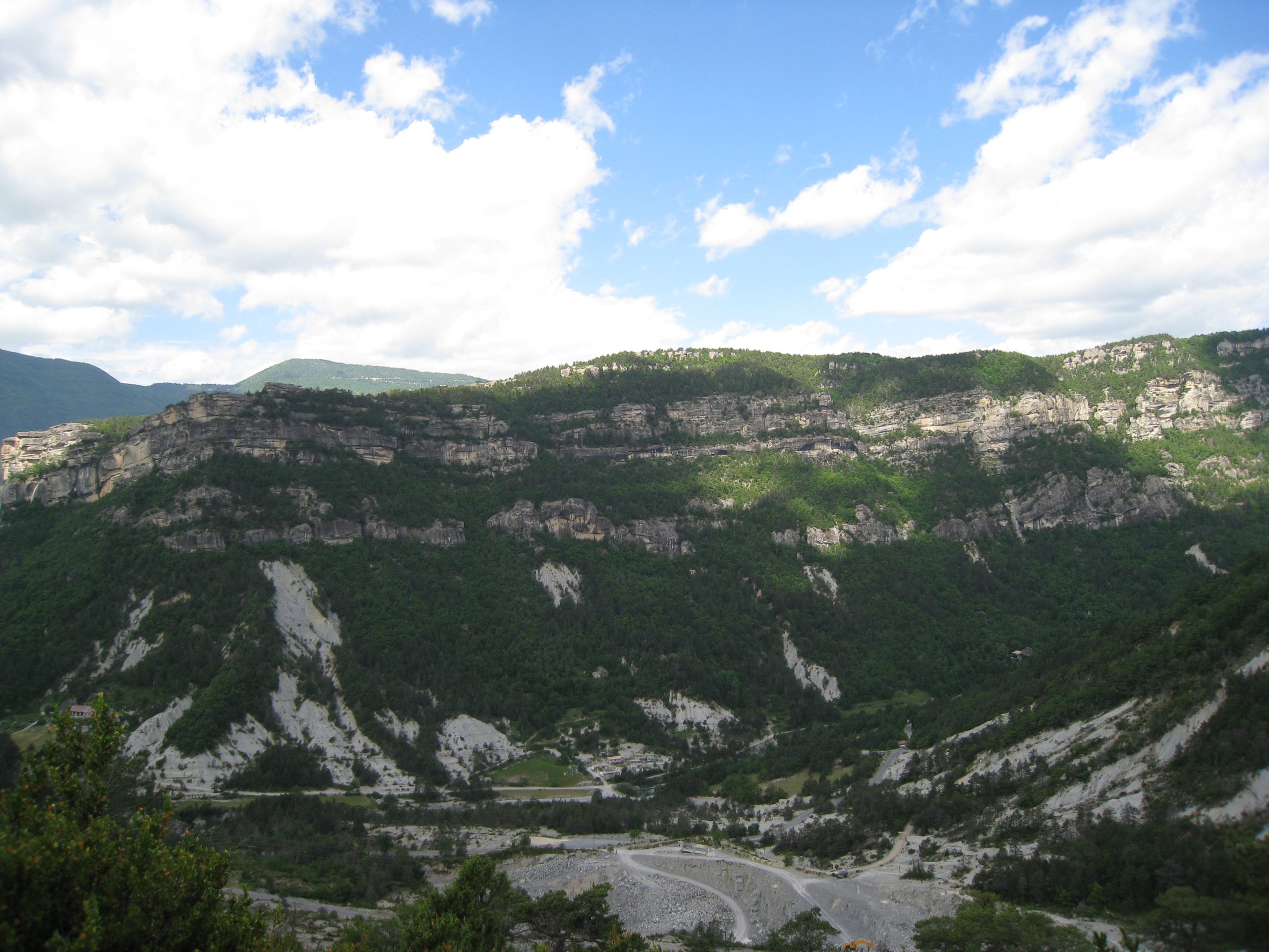
Experience the classic, well-exposed Grès d’Annot turbidite outcrop area in the French Alps, an excellent analogue for deepwater exploration and development targets in structurally active slope and basin settings. This course will provide insights into field development challenges in relatively confined, high-net, submarine fan systems by using the world-class exposures along with static/dynamic models of the outcrops to support discussions. Seismic forward-models of 3-D and 4-D responses to waterfloods in these systems add to the conversation. The setting allows reservoirs to be observed at a range of scales from seismic- and field-scale, to the scale of a core plug, and is intended for a cross-discipline, geoscience and petroleum engineering audience.

Duration and Logistics

A 7-day field course in the French Alps, comprising field activities and exercises on-site, unless weather doesn’t allow. The manual will be provided in paper format, with a digital copy available as a take-away.

Level and Audience

Advanced. The course is designed for integrated teams (geologists, geophysicists and reservoir engineers) evaluating development opportunities for fields in deepwater confined basins. The ideal group would be an asset team, who would be encouraged to bring their own field issues (and data where possible) to discuss live on the analogue.

Exertion Level

This class requires a DIFFICULT exertion level. The Grès d’Annot is quite comfortable in the early summer, with temperatures of 10–25°C (50–80°F) and occasional rain showers. Some field locations require path-based hillwalking involving ascents up to 600m (2000 feet). The longest excursion involves a full-day hike and will be conducted at a leisurely pace.

Objectives

You will learn to:

  1. Assess discrete, structurally controlled sediment transport pathways into bathymetrically complex deepwater basins.
  2. Assess the role of relative structural and flow confinement on turbidite reservoir architecture.
  3. Characterize internal reservoir architecture in different parts of the system and assess the impact of heterogeneities on fluid flow.
  4. Formulate reservoir and simulation modelling requirements, in order to forecast production performance from reservoirs of these types.
  5. Determine the level of detail required for reservoir characterization under a range of fluid fills and production mechanisms.
  6. Understand how much of the observed heterogeneity would be detectable on seismic, and predict how fluid-sensitive heterogeneities would be visible on 4-D seismic for a field on production.

Reservoir Characterisation and Subsurface Uncertainties in Carbon Stores, Cheshire, UK (G578)

Tutor(s)

Richard Worden: Professor in the Department of Earth Ocean and Ecological Sciences, University of Liverpool, UK.

Overview

This course will give participants the opportunity to see some of the rocks at outcrop that are planned UK CO2 storage sites and to analyze the associated range of subsurface challenges. Visiting these outcrops will allow subsurface geoscientists, who generally use logs and limited core to build models, the opportunity to see the larger and smaller scale architecture and heterogeneity of the rocks they are working on and to consider the key processes of injectivity, migration and trapping of CO2. The course will also discuss post-depositional changes to sandstones, including petrophysical and geomechanical property evolution (pre- and post-CO2 injection), and some of the risks (migration and leakage) associated with developing saline aquifers and depleted gas fields as CO2 storage sites in these sandstones.

Duration and Logistics

A 5-day field course comprising a mix of field activities with classroom lectures and discussions. Transport will be by bus.

Exertion Level

This class requires an EASY exertion level. Field locations are mainly relatively easy walks of less than 1km (0.6 mile) along paths from road access points, although there is some walking down and up gentle slopes. One outcrop involves a 6km (3.7 miles) round trip walk over an intertidal sandflat.

Level and Audience

Intermediate. This course is intended for geoscience and engineering professionals working in CCS projects, especially those with an active interest in the Triassic Bunter/Sherwood Sandstones.

Objectives

You will learn to:

  1. Appraise the main depositional and diagenetic features that influence Triassic Sandstone (Bunter/Sherwood) reservoir properties and CCS reservoir development and likely performance.
  2. Validate the CO2 storage volumetrics from the micro (pore-scale) to the macro (aquifer volumes).
  3. Predict CO2 flow away from injector wells controlled by permeability and aquifer architecture with reference to injection rates and subsurface pressure.
  4. Assess the range of effects that CO2 can have on the host aquifer, from geomechanical to geochemical.
  5. Create plume migration models with respect to compartmentalization risk, pressure barriers, faults and fractures.
  6. Assess the role of top-seal and fault-seal properties and how they will influence CO2 storage, from risk of fracking, or induced seismicity, to mineral dissolution.

Geothermal Sedimentary Systems: Exploration, Development and Production Principles (G574)

Tutor(s)

Mark Ireland: Senior Lecturer in Energy Geoscience, Newcastle University.

Overview

This course covers all aspects of various sedimentary geothermal systems, from exploration through to production. It is intended as an introduction to the entire lifecycle of sedimentary geothermal resources, covering aspects of geoscience and engineering.

Duration and Logistics

Classroom version: A two-day classroom course comprising a mixture of lectures and exercises. The course manual will be provided in digital format.

Virtual version: Four 3.5-hour interactive online sessions presented over 4 days. A digital manual and exercise materials will be distributed to participants before the course.

Level and Audience

Fundamental. The course is intended for all career stage industry professionals and early career researchers with a geoscience or geo-engineering background, including those with a familiarity in oil and gas production.

Objectives

You will learn to:

  1. Understand the basic principles of heat generation within the upper crust.
  2. Describe the key characteristics of sedimentary geothermal resources and reservoirs.
  3. Examine the geothermal play concept.
  4. Establish exploration methods using oil and gas data to assess geothermal resources in sedimentary basins.
  5. Illustrate the development and production options for these geothermal resources.
  6. Appreciate the principle geological hazards, in relation to geothermal projects, including induced seismicity.
  7. Appreciate the range of environmental impacts associated with geothermal developments.
  8. Appreciate project risks and uncertainties in developing geothermal resources.

Integration of Rocks and Petrophysical Logs (G059)

Tutor(s)

Greg Samways: Director, Geolumina.

Overview

This course will focus on a simple petrophysical workflow entailing the determination of rock properties from conventional logs and core analysis data. Lithology, porosity, permeability and saturations will be determined using a variety of different analytical and simple modelling methods. Emphasis will be placed on understanding the importance of calibration, integration, and validation of the results of each method, based on a fundamental understanding of the geological controls on petrophysical properties.

Duration and Logistics

Classroom version: 3-days with a mix of lectures and exercises. The manual will be provided in digital format and participants will be required to bring a laptop or tablet computer to follow the lectures and exercises.

Virtual version: Five, 3.5-hour interactive online sessions presented over 5 days. The course will focus on problem-solving using real-world data and use a series of Excel workbooks. A digital manual and exercise materials will be distributed to participants before the course.

Level and Audience

Fundamental. This course is intended for non-petrophysicists who require a grounding in the petrophysical determination of lithology, porosity and saturation from conventional and special core analysis, and conventional open-hole logs.

Objectives

You will learn to:

  1. Understand the fundamental geological controls on reservoir properties.
  2. Describe how these properties are measured in the laboratory using conventional and special core analysis methods.
  3. Characterize the ways in which lithology and porosity are determined from well logs and calibrated with core analysis, and how permeability may be estimated in the subsurface away from core control.
  4. Evaluate how the Archie equation is used to determine saturation in cores and from well logs, and the uncertainties and limitations with this method
  5. Investigate how saturation-height models can be created from special core analysis data, thereby avoiding some of the limitations of the Archie method.
  6. Interpret typical conventional log and core analysis data using Excel spreadsheets.
  7. Experiment with the sensitivities of input parameters for various determinations, such as V-Shale, porosity and saturation.

Building a Reservoir Model, Pembrokeshire, UK (G055)

Tutor(s)

Mark Bentley: TRACS International Consultancy and Langdale Geoscience.

Overview

This course offers a software-independent view on the process of reservoir model design and simulation model-building, addresses the underlying reasons why some models disappoint and offers solutions that support the building of more efficient, fit-for-purpose models. The thread through the week is a model design for the notional ‘Pembroke Field’ – a synthetic field constructed from reservoir analogue outcrops in South Pembrokeshire.  The Pembroke Field contains three contrasting reservoir types: continental clastics, shallow marine deltaics and naturally fractured carbonates, in both structurally deformed and undeformed settings. Data from producing oil and gas fields has been scaled to the synthetic models to create a realistic hydrocarbon field accumulation, ready for development.

Objectives

You will learn to:

  1. Create a fluid-sensitive conceptual model for a heterogeneous reservoir, built from a selection of elements and placed in a realistic architectural framework: the “sketch”.
  2. Guide the use of geostatistical tools intuitively, balancing deterministic and probabilistic components with awareness of the limits of the tools.
  3. Select appropriate methods for modeling of matrix properties, including the handling of net (cut-off’s vs total property modeling).
  4. Evaluate options for multi-scale modelling and the possible need for multi-scale approaches based on hierarchical understanding of Representative Elementary Volumes (REV).
  5. Understand issues surrounding permeability modeling and why this differs from the handling of other properties.
  6. Learn a rule of thumb (“Flora’s rule”) to help assess what level of static model detail matters to flow modeling and forecasting.
  7. Review how to use well test analysis to constrain models.
  8. Review options for model-based uncertainty handling (base case led, multi-deterministic scenarios, multi-stochastic ensembles), learn how to post-process the results and how to select an appropriate workflow which minimizes impact of behavioral bias.

Exertion Level

This class requires an EASY exertion level. Field stops require short walks along coastal paths, beaches and wave cut platforms. The longest walk is <5km (3 miles). Field stops are all at approximately sea level and some are tide dependent. Transport will be by coach.This class requires an EASY exertion level. Field stops require short walks along coastal paths, beaches and wave cut platforms. The longest walk is <5km (3 miles). Field stops are all at approximately sea level and some are tide dependent. Transport will be by coach.

Level and Audience

Intermediate. The course is aimed at geoscientists with knowledge of reservoir modeling software, petrophysicists who provide input to static reservoir models and reservoir engineers involved in simulation work who deal with the static-dynamic interface on a regular basis. The course is also of benefit to team leaders who wish to have a deeper understanding of the principles behind modeling and how to QC models made by others.

Duration and Logistics

7 days; a mix of field work (70%), and classroom exercises (30%).

Essential Data Science for Subsurface Geoscientists and Engineers (G065)

Tutor(s)

David Psaila: Director of Data Science for the Digital Subsurface, Analytic Signal Limited.

Overview

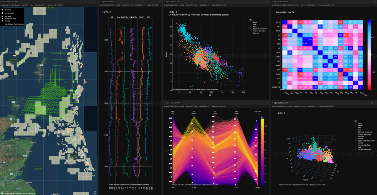
Interest in data science and machine learning is rapidly expanding, offering the promise of increased efficiency in E&P, and holding the potential to analyse and extract value from vast amounts of under-utilised legacy data. Combined with petroleum geoscience and engineering domain knowledge, the key elements underlying the successful application of the technology are: data, code, and algorithms. This course builds on public datasets, code examples written in Python, statistical graphics, and algorithms from popular data science packages to provide a practical introduction to the subject and its application in the E&P domain.

Duration and Logistics

Classroom version: 5 days consisting of lectures and computer-based exercises and practicals.

Virtual version: Ten, 3-hour online sessions presented over 5 days. The course is at an introductory level and all subject matter will be taught from scratch. No prior experience of statistics, Python coding or machine learning is required, although some basic college level knowledge of maths and statistics is useful. Hands-on computer workshops form a significant part of this course, and participants must come equipped with a laptop computer running Windows (8, 10, 11) or MacOS (10.10 or above) with sufficient free storage (4 Gb). Detailed installation instructions are provided in advance so that participants can set up their computer with the data science toolkit and course materials before the course starts.

Level and Audience

Fundamental. This is an introductory course for reservoir geologists, reservoir geophysicists, reservoir engineers, data management, and technical staff who want to learn the key concepts of data science.

Objectives

You will learn to:

  1. Analyse project data using the data science toolkit; notebooks, visualization, and communication.
  2. Perform data import and manipulation, data visualization, exploratory data analysis, and building predictive models from data.
  3. Have a working knowledge of coding in Python.
  4. Coordinate reference systems including geographic and projected coordinate systems.
  5. Use the fundamentals of machine learning including background concepts, the different types of machine learning, and the basic workflow to build and evaluate models from data.

An Introduction to the Principles of Geology for the Modern Energy Industry (G067)

Tutor(s)

Jonathan Evans: Director, GeoLogica; Chair of Trustees, Lyme Regis Museum.

Overview

A successful modern energy system will depend on sustainable and careful stewardship and use of geological resources and sub-surface geology. This fundamental course is intended for all interested in learning the basics of geology in relation to the modern energy industry. Irrespective of background knowledge or skills, the course will introduce you to the key geological terminology and concepts in order to gain a better understanding of subsurface geology.

Duration and Logistics

Classroom version: A 1-day* course comprising a mix of lectures, case studies and exercises. The manual will be provided in digital format and participants will be required to bring a laptop or tablet computer to follow the lectures and exercises.

Virtual version: Two 4-hour online sessions presented over 2 days, comprising lectures and exercises. A digital manual will be distributed to participants before the course.

*A day in the field can be included where logistics allow, to observe a variety of rock types and for participants to gain a better understanding of key geological themes.

Level and Audience

Awareness. The course is intended to introduce the principal themes of geology for the modern energy industry. No previous knowledge is assumed and hence the course should also appeal to those without a science/geoscience background.

Objectives

You will learn to:

  1. Understand the future of energy provision and the role that geoscience plays.
  2. Recall the fundamental principles of geology including different rock types, geological time and stratigraphy.
  3. Understand how a sedimentary basin is formed and the different types of clastic depositional systems.
  4. Understand the basics of a geoscience subsurface toolkit including seismic imaging and other types of subsurface geological data.
  5. Appreciate the key elements of petroleum systems analysis with a focus on reservoirs.
  6. Recall the geological principles to be considered for carbon capture and storage (CCS) as well as hydrogen projects.
  7. Appreciate how a well is drilled into the subsurface and the types of wells that can be drilled.