Tutor(s)
Jonathan Evans: Director, GeoLogica; Chair of Trustees, Lyme Regis Museum.
Overview
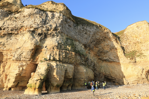
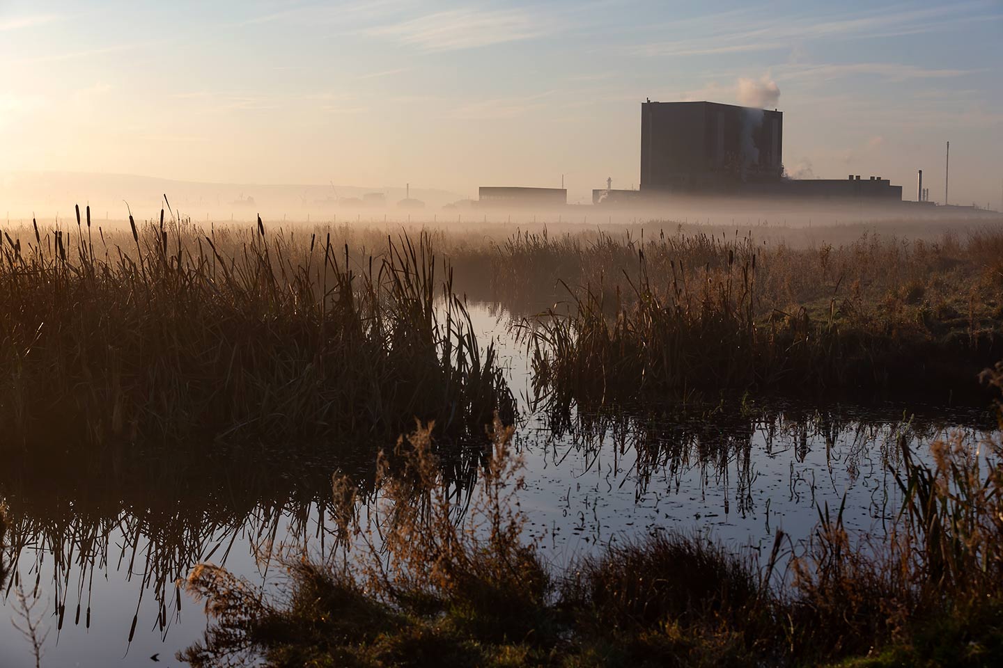
This course will illustrate the processes of play analysis and prospect evaluation using the geology of the Wessex Basin and outcrops of the Jurassic Coast of Devon and Dorset. The course will assess the elements of a working petroleum system including reservoir, source, seal and trap in the context of the Wytch Farm oilfield. Participants will have the opportunity to study a wide range of clastic and carbonate depositional systems, in addition to varying structural concepts, and visit two producing oil fields.
The manual will be provided in digital format and you will be required to bring a laptop or tablet computer to the course.
Duration and Logistics
A 5-day field course comprising fieldwork (70%) and classroom exercises (30%). The course will be based in Weymouth and transport will be by coach.
Exertion Level
This class requires an EASY exertion level. Outcrop access is easy with short walks of 1-2 km mostly across sandy beaches. Some field stops have more irregular terrain, in the form of pebbly and rocky beaches.
Level and Audience
Fundamental. The course is intended for junior-mid level geoscientists who are working in exploration as well as development and want a broad overview of key petroleum systems concepts or the chance to revise the key themes. The course would also be of value to reservoir engineers wanting to appreciate the role of, and subsurface data analysed by, the geological team.
Objectives
You will learn to:
- Understand the elements required in a working petroleum system and the concept of play analysis.
- Create play fairways maps based on fieldwork and published data.
- Examine the process of prospect evaluation and volumetric assessment including probability of success.
- Rank prospects based on the different play elements.
- Perform simple resource assessment and exploration risk analysis.
- Identify source rocks, how they form and what makes a good source rock.
- Compare different reservoir rocks, including sandstones and chalk, to work out how they were deposited and what controls the key reservoir properties of porosity and permeability at different scales.
- Describe different seals and flow barriers both above and within the reservoir intervals.
- Work with different types of subsurface data, as part of a team, and measure what scale of information they provide e.g. seismic, well logs, core, well tests, production tests.
- Analyse a series of local prospects and establish the geological chance of success.
- Assess the stages of a subsurface project from exploration through to development and production.
- Appreciate the different drilling and production technology in relation to the different reservoir types and project requirements.