Tutor(s)
Zane Jobe: Research Professor, Colorado School of Mines and the Director of the Geology Center of Research Excellence (CoRE).
Overview
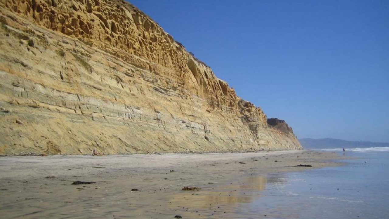
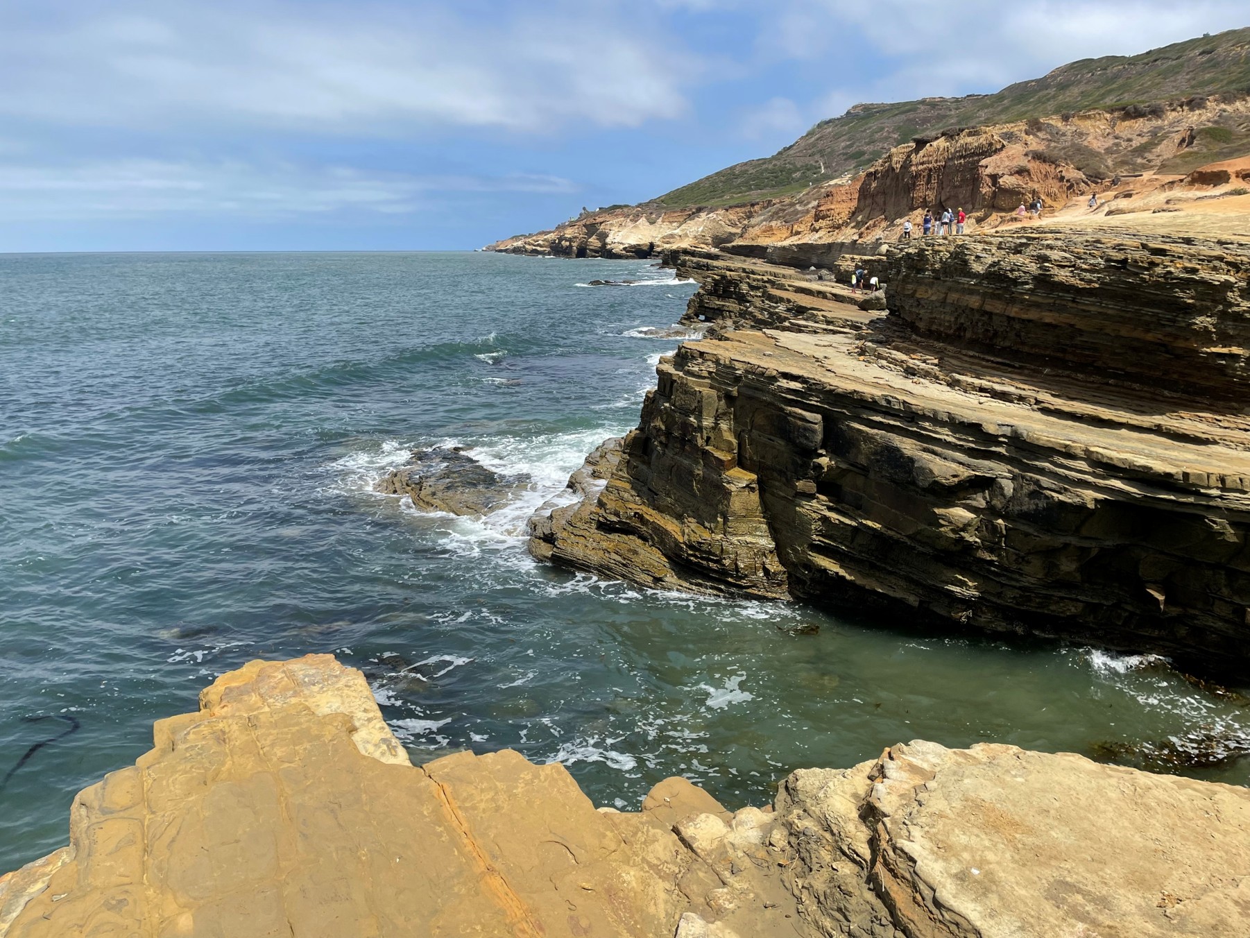
The course will visit spectacular outcrops along the California coastline just north of San Diego. Field work will follow a source-to-sink approach and will focus on specific deepwater architectural elements, including canyons, slope channels, channel-lobe-transition-zones and lobes. The course will provide insights into exploration and development themes and challenges in deepwater depositional systems, with direct analogs to Gulf of Mexico reservoirs.
Duration and Logistics
A 6-day field course based in La Jolla, California. Training will take place through in-class presentations, field observations, printed exercises and discussions in the field. Transport will be by coach.
Exertion Level
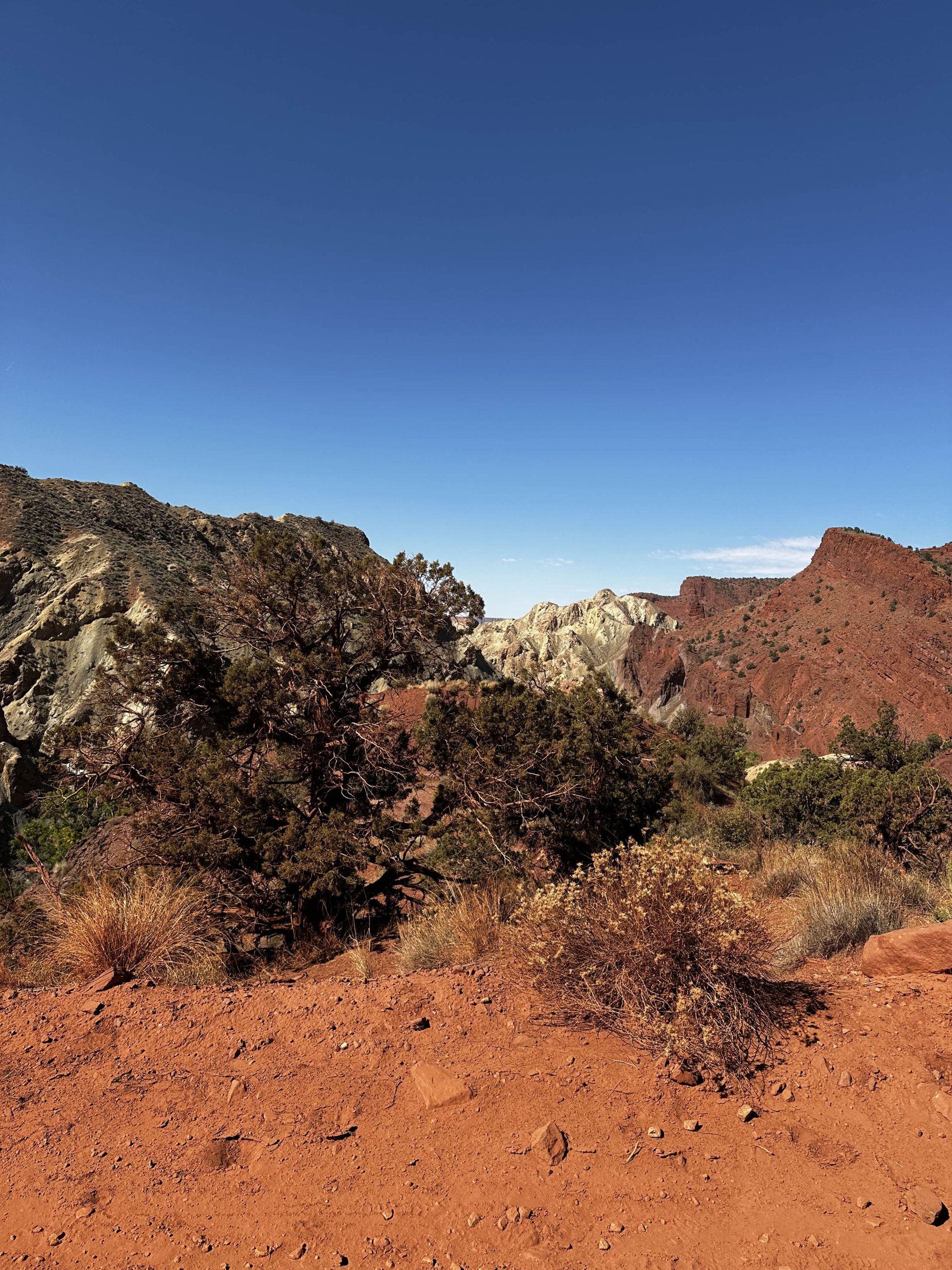
This class requires a MODERATE exertion level. Access to the coastal cliff outcrops is via sandy beaches with walks no more than 3km (1.9 miles). Field stops are all at approximately sea level and some are tide dependent. There are some steep steps to negotiate to reach some beach sections.
Level and Audience
Intermediate. The course is aimed at geoscientists, engineers, petrophysicists, geophysicists and managers who are working deepwater reservoirs or would like to improve their knowledge of these systems.
Objectives
You will learn to:
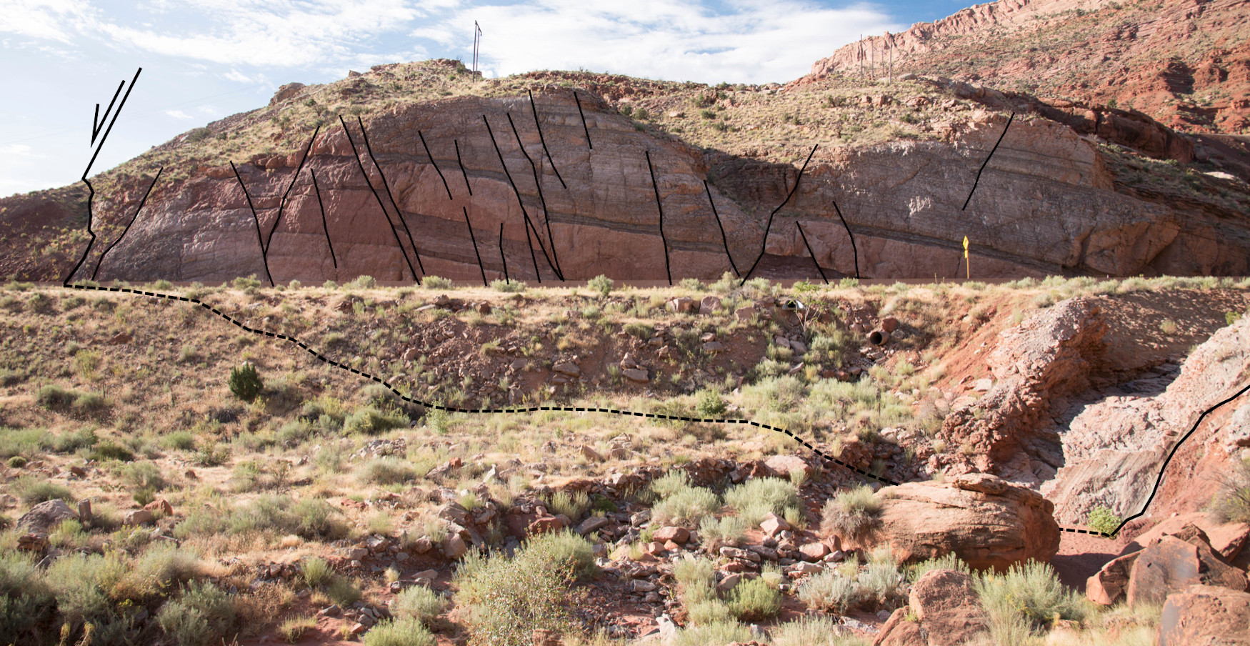
- Characterize the sedimentary processes and facies of turbidite systems and mass-transport deposits, and the broad nature of submarine depositional architecture.
- Evaluate submarine-channel systems, including scales/dimensions, axis-to-margin architecture, evolution, heterogeneity and potential baffles/barriers to flow.
- Predict connectivity in channelized systems from their seismic-geomorphic and well-log expression.
- Assess submarine canyon forming-and-filling processes, including mass wasting, bypass, sandy and muddy fill, and up-dip trapping mechanisms.
- Illustrate the importance of source-to-sink studies in the exploration of turbidite reservoirs.
- Evaluate submarine lobe/sheet systems, including scales/dimensions, axis-to-fringe architecture, compensational stacking, hierarchy and heterogeneity (e.g. hybrid-event-beds).
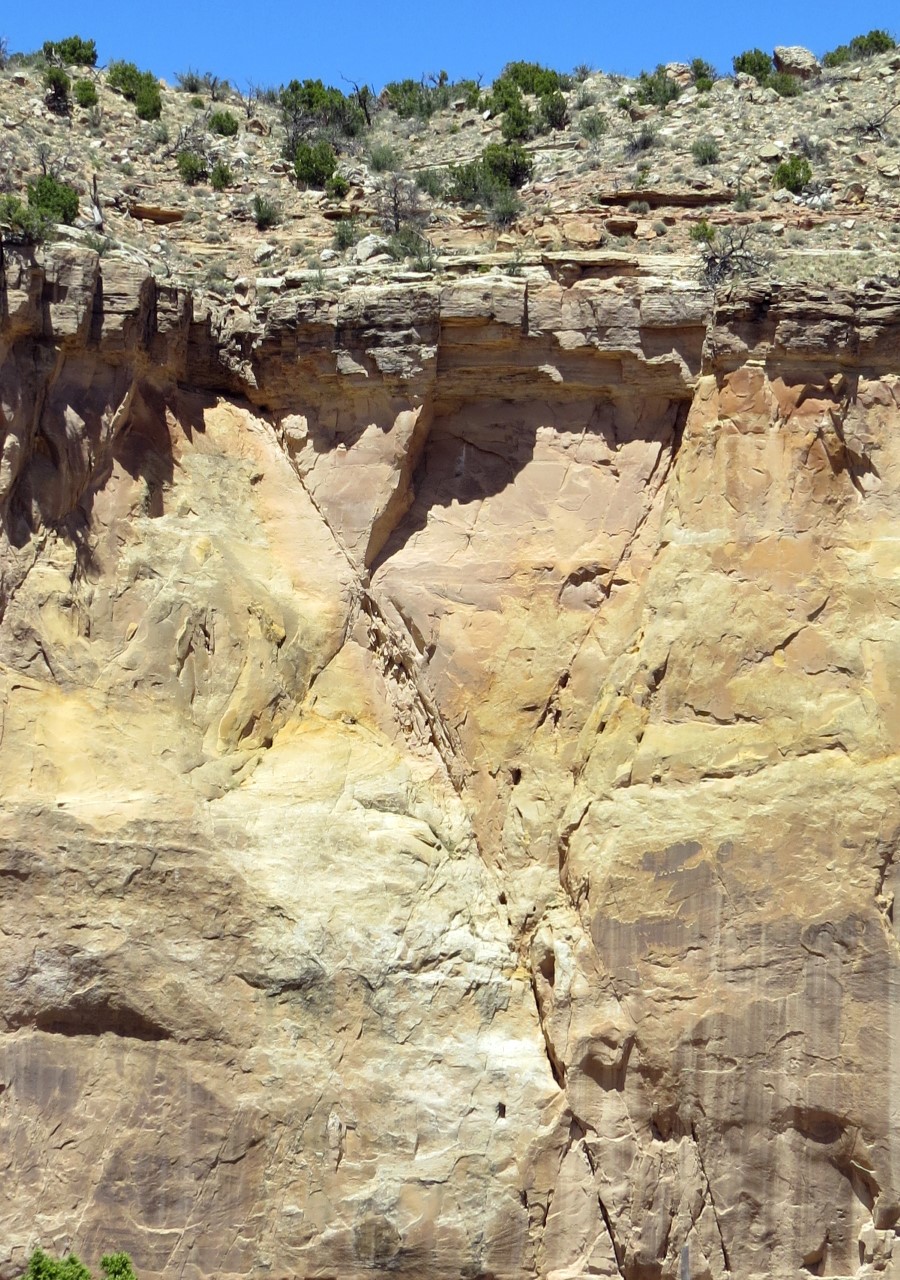
- Analyze channel-lobe-transition-zone deposits and supercritical-flow bedforms.
- Assess faulting in lobe deposits and impacts on connectivity.
- Appraise the facies variability in proximal/axial and distal/fringe lobe deposits, and the implications for connectivity between these sub-environments.